
Johns Creek Neighbors and the Block-Level Record
Each source answers a narrow question. Fulton GIS establishes which parcels touch. The assessor names the legal owner and tax-contact address. A separately ordered voter file can carry public registration fields, while the city neighborhood map and a verified association contact add local context. None of them alone proves who is currently inside every home.
| Source | What It Shows About a Block | Access |
|---|---|---|
| Fulton Property Map Viewer | Touching parcel outlines, situs, IDs and assessment links | Free map; click parcels one at a time |
| Fulton assessor | Legal owner, tax mailing address and parcel facts | Free property search |
| Ordered voter list | Public registered-voter fields sortable by street | Paid order with statutory limits; not My Voter Page |
| Johns Creek neighborhood map | Named community and incorporated-city context | Free city map page |
| HOA or civic association | Public board or contact details, when published | Public contact only; member directories are often private |
| Permits and zoning notices | Nearby projects, applicants and affected parcels | City site or narrow Open Records Act request |
A matching situs and owner mailing address, especially with a current homestead indicator, is evidence of owner occupancy at a point in time. It still does not identify every resident. Corporate title, a trust, or an outside mailing address points to another ownership record, not a conclusion about the household.
Click Every Parcel Touching Johns Creek Neighbors
Open the Fulton County Property Map Viewer, locate the target address, and zoom until parcel boundaries display. Select the target polygon and record its parcel ID. Close the pop-up, then click each polygon that touches it on both sides and behind. Open each linked property card and record only the public owner, situs, mailing, and parcel facts needed for the block study.
- Confirm the target parcel rather than relying on a street-label pin.
- Work clockwise through every touching polygon so a rear lot is not missed.
- Use the assessment link to verify ownership because a map label alone is not proof.
- Use the measure control only for approximate distance, not a legal boundary claim.
- Mark each source date so later changes do not get merged into one snapshot.
The viewer exposes search and parcel components, but no radius or buffer tool should be claimed unless it appears in the live interface. Clicking the actual neighboring polygons is the defensible method.
A Tax Owner Is Not Every Johns Creek Neighbor
The assessor card commonly provides owner name, mailing and situs addresses, parcel ID, legal description, values, building facts, sales references, and exemption indicators. These fields document the tax parcel. They miss unlisted renters, other adults, children, and anyone whose name is not part of title.
Official block evidence
Parcel geometry, legal owner, recorded transfer, public registration fields, and dated permit facts point back to a named custodian.
Commercial neighbor tools
Compiled products can be stale, combine same-name people, and hide their source dates. Treat the category only as an unverified lead.
For the full named-street chain beyond the immediate block, use the Johns Creek street directory. A search for neighbors stays focused on parcels next to one starting address.
Map Johns Creek Neighbors From Parcels to Owners
A repeatable process separates the geometry check from the identity check. Begin in Fulton GIS, move into the assessment cards, and then add city and community context only after the parcel set is complete.
- Locate the address in Fulton Property Map Viewer and confirm the parcel identifier.
- Click all touching parcels and open their linked assessment details.
- Compare situs, owner mailing address, and a dated homestead indicator without calling them conclusive occupancy proof.
- Open the city neighborhood map to place the parcel set inside a named community and municipal boundary.
- Verify any HOA or association against the recorded plat or covenants before using its public contact.
Keep a row for source, parcel ID, situs, owner, mailing clue, and access date. That small audit trail makes it clear which facts came from the map and which came from an assessment record.
Place Johns Creek Neighbors in a Named Community
The Johns Creek GIS and neighborhood map page adds a locally used neighborhood name and confirms city context. That check matters because postal names and ZIP boundaries can point toward Alpharetta, Duluth, or Suwanee even when the parcel is inside Johns Creek.
Neighborhood identifiers in the research include Newtown, Ocee, Shakerag, Medlock Bridge, Seven Oaks, Rivermont, DoubleGate, and Country Club of the South. A label is useful for finding a civic group, plat, or public meeting notice, but it does not make a private association roster public.
Verify Johns Creek Association Contacts Against the Plat
Johns Creek Community Association is a civic umbrella and advocacy resource, while subdivisions may maintain separate HOAs or civic bodies. Validate the exact organization from the subdivision plat, covenants, and its current public contact page. Similar neighborhood names are not enough.
| Community clue | What to verify | Proper access boundary |
|---|---|---|
| Johns Creek Community Association | Current public civic contact and neighborhood-map links | Public pages and published contacts |
| Country Club of the South, Medlock Bridge, Seven Oaks | Plat or covenants naming the applicable body | Public board contact; no member-only scraping |
| Rivermont, DoubleGate, Shakerag-area communities | Exact subdivision and current association identity | Voluntarily public material only |
| Congregations, clubs and block-watch groups | Whether a roster was intentionally published | Ask permission; private membership stays private |
One local HOA site expressly limits minutes and financial material to registered owners. That access gate should be honored rather than treated as a research obstacle.
Johns Creek Neighbors Are Not Browsable in My Voter Page
Georgia My Voter Page is an identity-gated self-service tool requiring first initial, last name, Fulton County, and date of birth. It can verify a person's own registration and districts. It cannot browse a block.
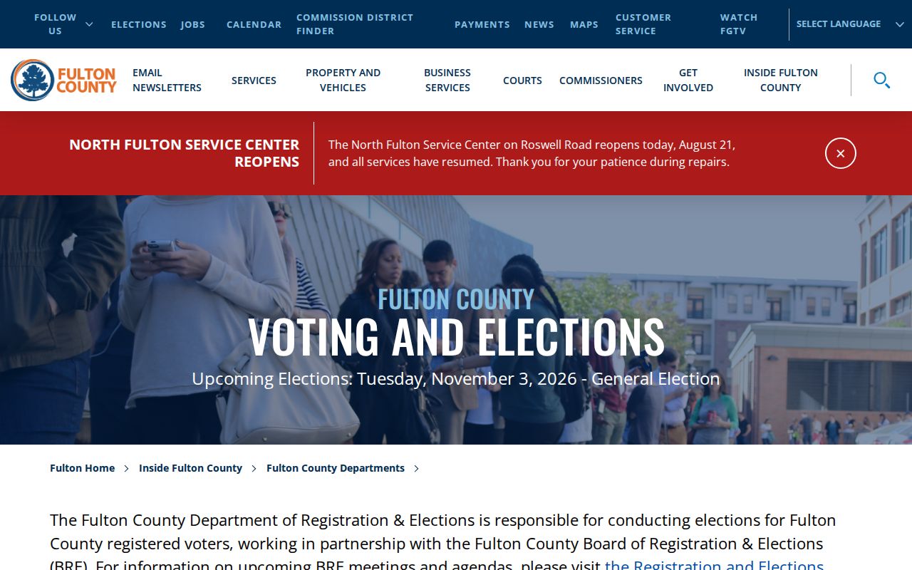
A public voter-list product is the distinct lawful route. Under O.C.G.A. §21-2-225, current products can include defined public fields and can be sorted by residence street after ordering, subject to statutory use restrictions and protected-address handling. The Fulton Elections page supplies county service and list-order context.
The captured Elections source below marks the correct office route for registration services and public-list questions.
Read Nearby Johns Creek Permits Without Overreaching
Building permits and zoning notices can name applicants, contractors, petitioners, project descriptions, and affected parcels. They can date construction or show why a nearby lot appears in a public hearing. The named applicant may not be an occupant, and a project record does not establish who your neighbors are.
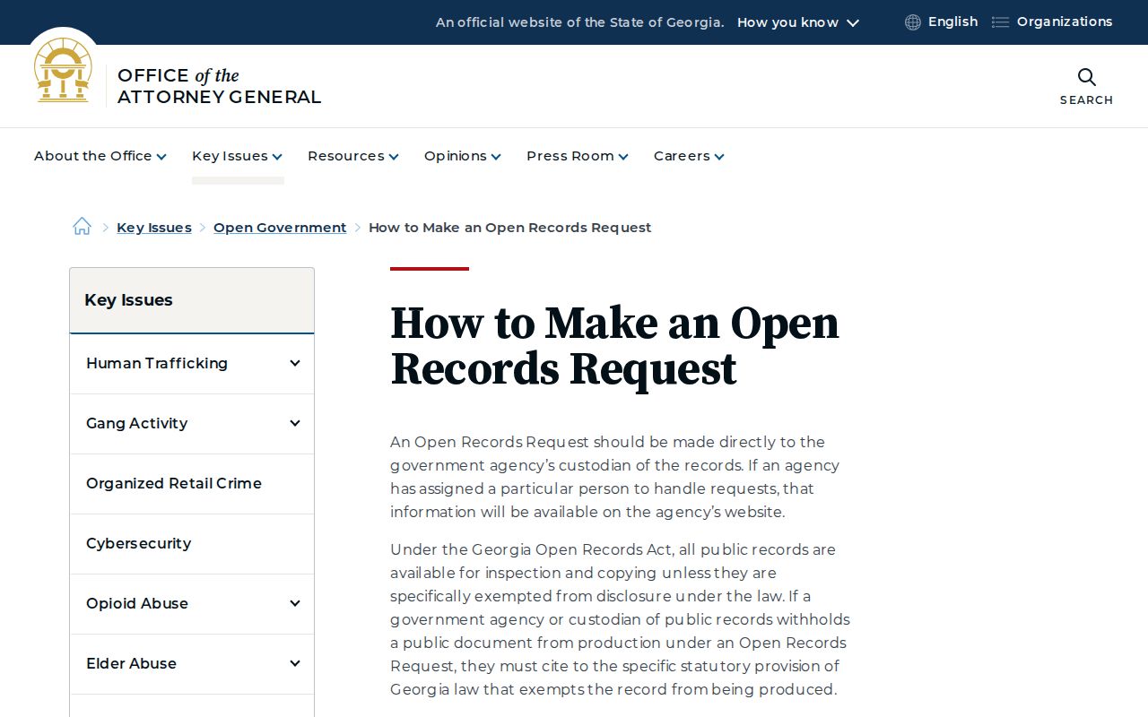
If a needed city record is not posted, send a narrow request to the custodian under the Georgia Open Records Act. Ask for an existing record by address, date range, department, permit or case number, and format. Agencies need not create a new neighbor list.
The Georgia Attorney General's request guidance explains that custodian-based route.
Verify Johns Creek Neighbors Parcel by Parcel
A block worksheet should keep ownership, occupancy clues, voter data, and community contacts in separate columns. That prevents one source from silently becoming a claim it cannot support.
- Confirm each polygon and parcel ID in Fulton GIS.
- Open the current assessment card and note its access date.
- Separate situs from owner mailing and mark any homestead clue as time-specific.
- Check the city map for the incorporated boundary and neighborhood name.
- Use voter-list information only through the official order route and within statutory limits.
- Verify an association from plats or covenants and use only public contact details.
- Label unverified household identity as unknown rather than filling the gap.
Privacy Boundaries Around Johns Creek Neighbors
Unlisted renters and household members, utility and delivery customers, full birth dates and identity numbers, private association rosters, and ballot choices remain outside a proper block lookup. Motor-vehicle addresses are governed by the federal Driver's Privacy Protection Act. Georgia Safe at Home provides a substitute address and mail forwarding for eligible survivors, so an alternate or missing location is a safety protection, not a gap to defeat.
Official rolls should be read as dated, purpose-built records. A parcel map answers who owns nearby land. A voter file covers registered people within its lawful public fields. Neither answers who is present in a home today.
Lawful use. Looking up your neighbors is appropriate for civic curiosity, reconnecting, and personal safety awareness. Never use public information to watch, harass, intimidate, or expose anyone.