
Johns Creek ZIP Code Directory Coverage
Four core postal areas serve substantial parts of Johns Creek, while a fifth appears in broad lists but needs address-by-address proof. The city lies wholly in Fulton County, yet its mailing geography faces Alpharetta, Duluth, and Suwanee. A ZIP code directory therefore describes delivery territory rather than a clean municipal slice.
| ZIP | Johns Creek areas reached | Postal identity | Local caution |
|---|---|---|---|
| 30005 | Northwest and Ocee near Abbotts Bridge | Alpharetta delivery | Crosses city lines; Ocee Library is in Johns Creek |
| 30022 | Western and central areas near Newtown and State Bridge | Alpharetta delivery | Spruill Oaks Library is in Johns Creek; city-name use varies |
| 30024 | Northern and eastern edge near Suwanee and county boundaries | Suwanee delivery | Extends far beyond Johns Creek |
| 30097 | Large eastern and southern area near Medlock Bridge and Shakerag | Duluth delivery | City Hall uses Johns Creek, GA 30097; territory also lies outside the city |
| 30098 | Small Duluth-oriented association in broad lists | Duluth delivery | Substantial incorporated coverage was not verified; test each address |
No official source in the research identified a Johns Creek PO-box-only or unique institutional ZIP. Do not invent one from a station name. Verify the exact address through USPS, then check the parcel against the city boundary.
Why Johns Creek ZIP Codes Use Other City Names
Postal city, incorporated city, school district, and county are different systems. Johns Creek has reported that USPS does not uniformly recognize the city as the preferred mailing name. That is why places physically inside Johns Creek can appear under Alpharetta-oriented 30005 or 30022, while eastern properties use Duluth-oriented 30097. The mail label alone cannot settle jurisdiction.
The contrast is visible in public addresses. Ocee Library at 5090 Abbotts Bridge Road is in Johns Creek with 30005. Northeast/Spruill Oaks at 9560 Spruill Road is in the city with 30022. City Hall at 11360 Lakefield Drive uses Johns Creek and 30097, even though the ZIP also covers outside land. These are concrete reminders to keep the postal and boundary fields separate.
Note: A neighboring city name in the mailing line does not move a parcel out of Johns Creek or Fulton County.
Verify a Johns Creek ZIP Code With USPS
Begin the ZIP code directory check with the USPS ZIP Code Lookup. The city-and-state mode can return ZIP choices, but a full street address is stronger when testing one resident. Enter the delivery address as currently known, note the standardized city and ZIP, and keep that result as postal evidence only.
| USPS search input | What it answers | Next Johns Creek check |
|---|---|---|
| Street address | Standard delivery form and ZIP | Match the address or parcel in city GIS |
| City and state | ZIPs associated with a postal city | Do not treat all returned territory as city land |
| ZIP code | USPS city names tied to that ZIP | Compare the actual property with the boundary |
| ZIP+4 | A finer delivery segment for a known address | Keep using parcel data for legal geography |
The live USPS screen used for this ZIP code directory appears here:
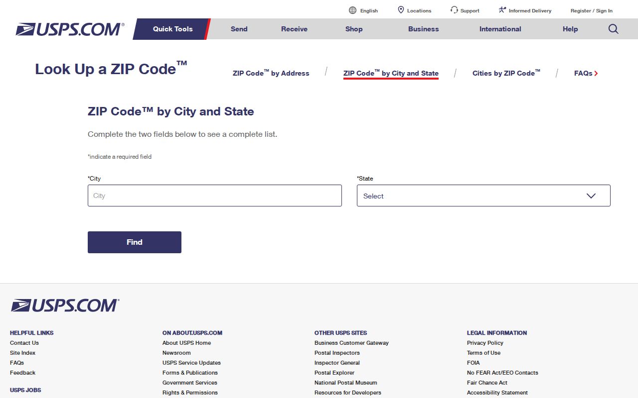
The image shows the official starting point, but current USPS results should control because delivery data can change.
Find Johns Creek Residents Within One ZIP Code
Once the postal area is known, use a source that can return a dated resident or owner clue. The Fulton assessor is usually the practical property route. Its current interface may expose city or ZIP fields in an advanced search, but a ZIP-wide result can include parcels outside Johns Creek. The safe method intersects the result with the incorporated boundary.
- Verify the exact address and delivery ZIP through USPS. Record any Alpharetta, Duluth, or Suwanee preferred name.
- Search the Fulton assessor by address, owner, or available city and ZIP fields. Save parcel ID and situs.
- Open the Fulton Property Map Viewer or Johns Creek map page. Confirm that the parcel polygon lies inside the city.
- For lawful voter-file research, use the official state order process. My Voter Page cannot browse a ZIP and should not be used as if it can.
- When the target narrows to a road, continue through the Johns Creek street directory rather than treating the whole ZIP as one neighborhood.
A parcel record identifies legal ownership and tax contact, not every occupant. A voter list covers registered voters under the fields and restrictions of Georgia law. Use both within their actual scope.
Johns Creek ZIP Code Boundaries and City Limits
Johns Creek covers 31.3 square miles in north Fulton. The Chattahoochee River forms much of its south and east edge. McGinnis Ferry Road and Forsyth County frame the north, with Roswell to the west and Alpharetta to the northwest. Postal areas extend across several of those edges, so ZIP-only output will both include outsiders and miss valid Johns Creek addresses listed under other city names.
Use the Johns Creek neighborhood and parcel map page for municipal context. Fulton GIS supports parcel geometry and linked assessment facts. The Census Bureau city-limit map is another boundary source. If a map layer is unclear, Johns Creek publishes GIS Manager Cat Cronlund at 678-512-3278 for address and map questions. The City Hall contact location is 11360 Lakefield Drive, Johns Creek 30097.
- ZIP versus ZIP+4
- A ZIP is a broad delivery area; ZIP+4 narrows mail sorting for part of a route, building, or address group.
- PO-box ZIP
- A ZIP assigned chiefly to post-office boxes rather than standard street delivery. None was verified specifically for Johns Creek.
- Unique ZIP
- A code assigned to one high-volume organization. No Johns Creek example was verified.
- Carrier route
- A USPS delivery path inside a ZIP. It does not define a city, neighborhood, or parcel boundary.
The Johns Creek USPS Boundary Review
Postal identity was still an active local issue in 2025-2026. Johns Creek City Council work-session materials included a USPS ZIP Code Boundary Review decision point and an overlay map. That makes the mismatch more than a historical quirk. It was recent municipal business tied to how the city and postal areas line up.
The City Council material and overlay discussion produced this captured source:
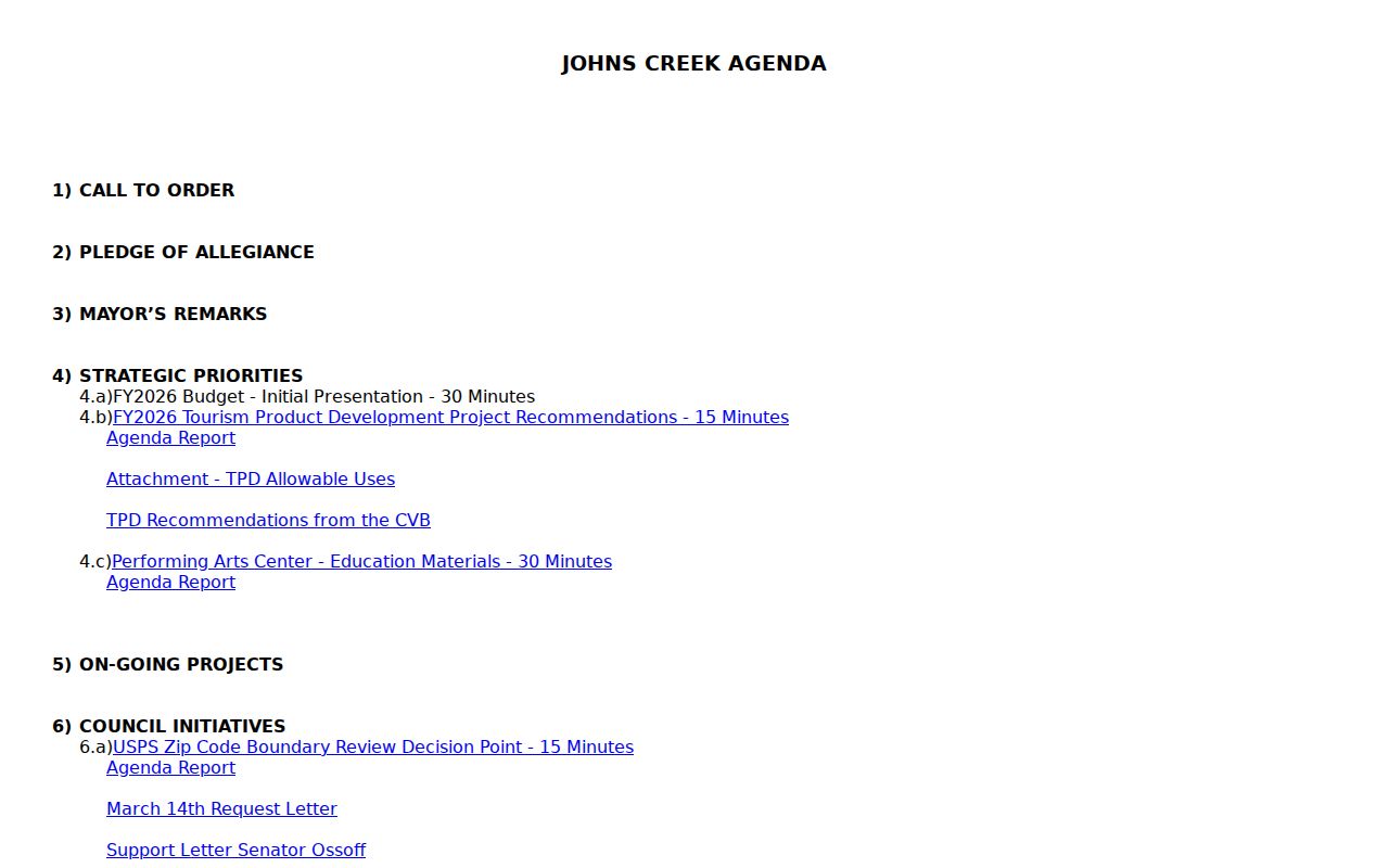
The research did not establish a final official outcome. Check the current council record and USPS result rather than claiming that a split, rename, or realignment took effect.
Three Address Fields in a Johns Creek ZIP Search
A strong ZIP code directory search keeps the postal address, situs, and legal description apart. The postal form supports delivery. Situs is the physical tax location on the assessor card. The legal description, often tied to subdivision, lot, block, plat, or metes and bounds, controls the land described in a deed. The owner's mailing address receives tax notices and can differ from all three.
| Address form | Primary source | Best use | Common mistake |
|---|---|---|---|
| Postal city and ZIP | USPS | Mail delivery and standardized address | Assuming it defines Johns Creek limits |
| Situs address | Fulton assessor | Locate the taxed parcel | Treating it as proof of every resident |
| Owner mailing address | Fulton assessor or tax bill | Identify the tax contact | Assuming it is the property location |
| Legal description | Deed and plat | Match land across name or street changes | Searching only the modern street string |
Plats translate a present address into subdivision, lot, and block. Older tracts may use metes and bounds. Parcel numbers are tax identifiers, not mailing addresses. Those distinctions are vital near a postal edge.
Older Johns Creek Communities Behind Modern ZIP Codes
Johns Creek incorporated on December 1, 2006. Earlier city records do not exist under a Johns Creek department, and older addresses may appear as Fulton County, a rural route, subdivision, or community name. Ocee, Newtown, Shakerag, and Warsaw can all be useful search terms. Alpharetta, Duluth, and Suwanee postal forms may also persist in indexes.
A practical three-name test searches the current Johns Creek form, the USPS preferred city, and the older community or subdivision form. Anchor each variant to the same Fulton parcel and legal description. This method reconciles a young city with older deed and directory systems without guessing that the street was renumbered. No official citywide renumbering year or ZIP split year was verified.
Note: For a pre-2006 event, lead with Fulton County records and older place names rather than a Johns Creek municipal department.
Limits of a Johns Creek ZIP Code Directory
A ZIP code directory cannot identify everyone who lives inside its boundary. The assessor shows owners, not renters or household members. Voter data omits people who are not registered and protects confidential identifiers and Safe at Home participants. A broad 30024 or 30097 search includes large areas outside Johns Creek, while a search restricted to the literal city name may omit local addresses using Alpharetta or Duluth.
Do not force uncertain data into a neat map. The research did not verify a city-specific PO-box code, unique code, official realignment year, comprehensive municipal ZIP polygon table, or substantial incorporated coverage for 30098. Those are checks to perform per address. Use USPS for delivery, GIS for boundaries, assessor data for parcels, and the custodian of any resident record for the final fact.
Boundary rule. A postal match is not proof of city residence. Confirm the parcel against an official Johns Creek or Fulton boundary before relying on it.