
Walk a Johns Creek Street Directory Trail
Start with one complete address and keep each source in its proper role. A Fulton parcel record can identify an owner, while a voter record or directory entry supports a different claim about residence.
- Search the Fulton assessor by situs address; save parcel ID, legal description, owner, mailing address and deed reference.
- Open Fulton GIS, confirm the polygon touches the expected road, and inspect lots on both sides.
- Follow the deed reference into the Clerk or GSCCCA index, matching the legal description and party names.
- Use a lawfully ordered voter file only if street-level voter research is needed. My Voter Page cannot browse a street.
- For older occupants, check Haines criss-cross volumes by street and number, then verify the name elsewhere.
Save the parcel ID first. It remains useful when postal text or street wording changes.
Turn a Johns Creek Address Into a Fulton Parcel
The Fulton Board of Assessors Property Search is the best first official index. Search with less text if a full address fails, then confirm the match from its map and legal fields.
| Field | Use in a by-address search |
|---|---|
| Owner | Names the assessed legal owner, not each occupant |
| Situs address | Identifies the physical tax location |
| Mailing address | Shows where tax notices go |
| Parcel ID | Links tax and map records |
| Legal/subdivision description | Bridges street spelling through lot or block |
| Deed or sale reference | Points toward the conveyance |
| Exemption and characteristics | Adds limited occupancy and building clues |
A matching mailing and situs address plus a current homestead indicator can support owner occupancy. It cannot name the rest of a household.
The Georgia Department of Revenue county property-record directory provides the official statewide route back to Fulton County's property system.
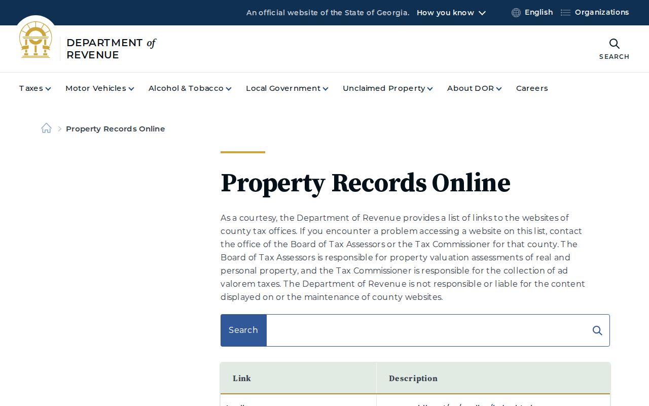
This saved page is a useful provenance check when portal addresses change, but the Fulton assessor record remains the source for the parcel facts used in a Johns Creek address search.
Browse Both Sides of a Johns Creek Street in GIS
The Johns Creek map page provides local boundary and parcel context, as this captured official page shows.
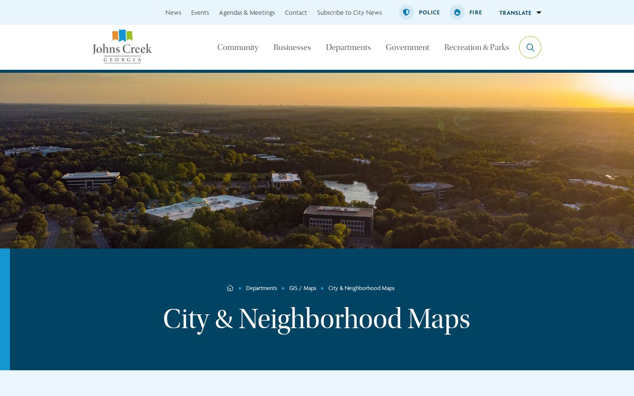
Use the live Fulton viewer for current facts. Search the address or parcel, zoom to its polygon, open details, then click adjacent polygons. Layers can include parcels, address points, zoning, aerial images, districts, city limits and subdivision references. Layer names change, so open the linked assessment card before naming an owner.
For a parcel-by-parcel street pass, begin at a clear cross street and move in one direction. Record each visible parcel ID before opening its assessment link. Note vacant tracts, common areas, corner lots, and parcels whose frontage faces a different road. Then repeat on the opposite side. This disciplined order prevents double counting and makes gaps visible. A polygon that touches the street is not always assigned that street address, so the situs field, not map position alone, determines how the county labels it.
City-boundary and neighborhood layers answer a different question. They can show whether an address with an Alpharetta, Duluth, or Suwanee postal label is inside incorporated Johns Creek and can place it near a locally used neighborhood name. They do not change the deed's legal description or the assessor's owner field. When map layers disagree, save the parcel key and check the city boundary, assessment card, and recorded plat separately.
Johns Creek Records That Answer to a Street
No one Johns Creek street directory contains the chain. These address sets overlap and describe different dates.
| Record | Keeper | What it shows | Access |
|---|---|---|---|
| Assessment | Fulton Assessors | Owner, situs, mailing, parcel, value | Free search; office fallback |
| Parcel GIS | Fulton and city GIS | Boundaries, neighbors, streets, districts | Free viewers |
| Deeds | Fulton Clerk/GSCCCA | Parties, legal description, book/page | Index, terminal, books or film; some items paid |
| Plats | Fulton Clerk/city plat lookup | Subdivision, lot, block, survey | Online or counter |
| Permits | Johns Creek | Work, applicant, contractor, inspections | City pages or records request |
| Voter file | Georgia/Fulton Elections | Lawfully disclosed fields sortable by address | Paid file order |
| Haines books | Central Special Collections | Address and telephone sequence | Walk-in |
Record the source date. A tax roll, permit, voter file and printed book are snapshots, not interchangeable proof.
The Mailing-Address Myth in Johns Creek
A mailing address is the tax contact destination; situs is the physical parcel. A trust, estate, company or distant owner can cause a real difference without proving who occupies the site. This is a central street directory limit.
Note. Treat owner, taxpayer and occupant as separate roles until a second dated record supports the connection.
Homestead can be a clue, not a household roster. Renters and relatives often remain absent from property records.
Follow Johns Creek Plats Into the Deed Chain
The Fulton plats and land-records page explains the Real Estate Division route shown here.
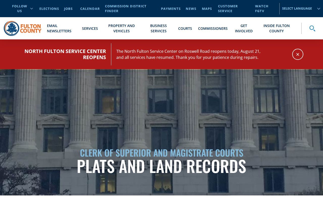
The division at 136 Pryor Street SW, Ground Floor, Atlanta, keeps deeds, liens, plats, surveys and related land records; customer service is 404-613-5313. Open the current acquisition deed and save grantor, grantee, dates, book/page or instrument, legal description and prior reference. Search the seller as an earlier grantee. Match land as well as name. When online material ends, use the free courthouse terminal, bound indexes or repository film.
A plat is the bridge when street wording breaks. Copy the subdivision name, phase, lot, block, and any recorded plat reference from the parcel card or deed. Compare those facts with the survey image and the next earlier conveyance. Rural tracts may rely on metes-and-bounds text rather than a modern lot number, while later suburban deeds may cite both an old tract description and a recorded subdivision plat. That overlap can show that two differently written addresses refer to the same land.
Do not treat every instrument as a sale. A security deed documents financing, and a quitclaim can resolve title without an ordinary purchase. The chain should follow conveyances while retaining cross-references to prior deeds. If an online image or index stops, call the Real Estate Division, use its public terminal, and move to bound grantor or grantee books or Georgia Archives and cataloged film as needed. The inspected official sources do not state one dependable Fulton online cutoff year.
- Parcel
- A tax and map unit with a county key.
- Situs address
- The physical tax location.
- Plat
- A recorded survey showing lot, block and easements.
- Criss-cross directory
- An address-first volume ordered by street and number.
Add Johns Creek Permits to the Street Timeline
City records start with incorporation on December 1, 2006. Community Development files may connect an address to work, applicants, contractors, inspections or zoning petitions. They date activity, not occupancy.
If an existing file is not posted, send the City Clerk a focused Georgia Open Records Act request naming the address, date range, department, case number if known and format. The city need not create a new list. For earlier road, zoning or building material, shift to Fulton County or the earlier responsible authority.
Voter Street Sorting Is Not My Voter Page
My Voter Page checks one person using first initial, surname, Fulton County and birth date. It may return that voter's status, precinct, districts, sample ballot and participation history. It cannot browse Johns Creek by street.
A separately ordered public file can be sorted by street within Georgia law. The order requires purchaser, contact, non-PO-box billing address, scope, status choice, signature and payment. Protected identifiers are excluded, and Safe at Home handling can override normal disclosure. An inactive record is not proof of a move.
Before 2006, Try Three Johns Creek Place Names
Older material can use Ocee, Newtown, Shakerag, Warsaw, Alpharetta, Duluth, Suwanee, a rural route or subdivision description. ZIP boundaries cross city limits, so a ZIP-only street search can include outsiders and miss variant labels.
Search today's Johns Creek form, the USPS preferred city form and the older community or subdivision form. Anchor each result to one parcel and legal description. The Johns Creek city directories explain how Haines volumes extend the trail into the printed era.
What a Johns Creek Street Directory Cannot Show
Ownership is not occupancy. Assessment files omit most renters and household members. A reverse book may omit an unlisted telephone, rural route, late move or address outside its canvass. Private rosters, protected addresses and sealed or sensitive files also create lawful dead ends.
Lawful use. Use address records for legitimate personal research, respect protected data, and never stalk, harass, intimidate or harm anyone.
A sound result states the record, date, custodian and role proved. It labels each inference and checks doubtful names against another official source.
Audit the Johns Creek Address Evidence
Log each record title, custodian, date, search text, and role attached to a name. This separates a grantor from a grantee, a taxpayer from an occupant, and a permit applicant from an owner. If two hits point to similar numbers on different parcels, resolve the legal description. A screenshot helps, but a stable parcel, instrument, book/page, permit, or case reference is stronger.
Assessment fields also provide quality checks. A subdivision and lot can separate similar addresses. Building details can flag an impossible match. The tax district and map link help confirm a site is inside Johns Creek. Historical tax-year access varies, so label the displayed year rather than assuming it describes an older event.
Use the full fallback chain before declaring a gap. Fulton Clerk terminals, counter books, grantor and grantee indexes, and repository film extend work beyond the web. Custodians can supply existing files through a focused request. Central Library may hold a physical edition with no scan. A blank web result does not prove the record is absent.
Corporate, trust, and estate ownership calls for restraint. A filing may lead to an agent, trustee, probate matter, or later deed, but none automatically identifies a resident. An out-of-area notice address can be accurate while someone else uses the parcel. Keep each claim narrow and tied to the source.
Reconcile time too. A deed can be signed before recording, a tax card may lag a transfer, and a printed volume may reflect canvassing months before publication. Search initials, compound surnames, and entity variants, but never merge people because names look alike. The best result rests on two records that agree on a parcel, legal description, address, or dated event.